Simplifier et améliorer l’ensemble de la chaîne de valeur des projets de construction, au bureau comme sur le terrain, en mettant au service de nos clients des solutions tirant le meilleur du métier, des technologies et des normes
En savoir plus

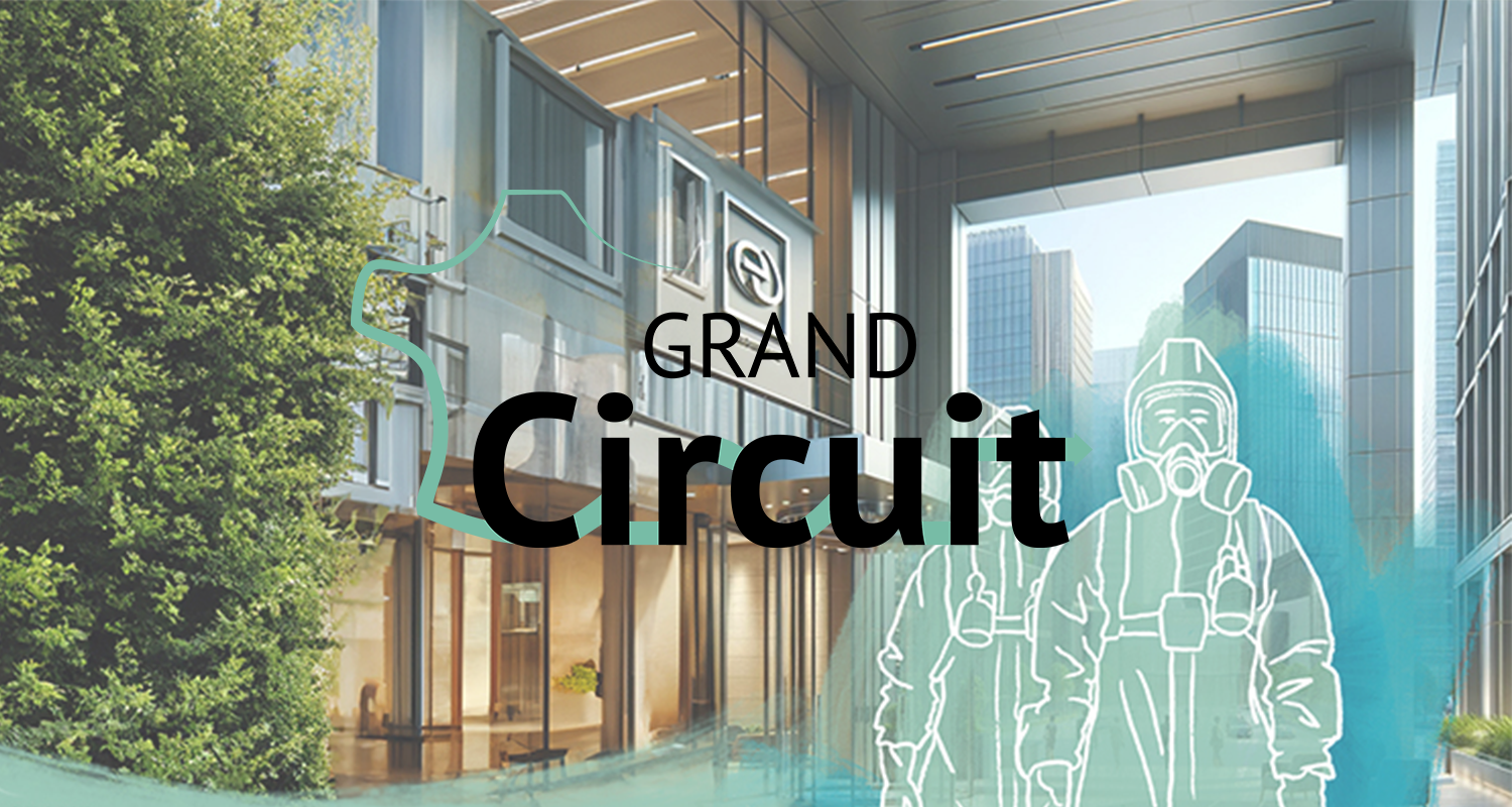
Sogelink
"Le monde du BTP évolue et se transforme avec des contraintes légales et métiers, des enjeux environnementaux, de rapides mutations des processus ...
Chez Sogelink, nous sommes convaincus que ces nouvelles réalités ne doivent pas complexifier le quotidien de ceux qui imaginent, font vivre et améliorent les infrastructures et les bâtiments d'aujourd'hui et de demain.
C’est pourquoi, à ceux qui pensent contraintes, nous répondons solutions.
À ceux qui pensent complexité, nous répliquons simplicité.
À ceux qui pensent subir ces évolutions, nous affirmons qu’ils peuvent en profiter.
Au bureau, comme sur les chantiers, quels que soient les besoins ou les métiers, sur l’ensemble de la chaîne de valeur de la construction, nous avons développé un large choix de solutions intelligentes pour simplifier les réalisations, assurer la continuité de la data et partager les informations en toute sécurité. À travers nos innovations, nous participons ainsi à construire le monde de demain, tout en assurant un quotidien serein".
Fatima Berral, CEO de Sogelink
Nos formations

 Services sur-mesure
Vous recherchez une solution personnalisée ? Sogelink vous propose de la développer à partir de votre cahier des charges fonctionnel :
API, interopérabilité...
 Délégation
Vous n’avez pas le temps ou les ressources pour traiter l’ensemble de vos documents réglementaires ?
Sogelink se charge de gérer vos démarches dans les délais impartis.
Gagner en productivité avec Geosnap et Cloud2Map
Lire l'étude de cas
Former ses équipes aux solutions AutoPiste et Georail
Lire l'étude de cas Tout l'agenda
publié le 25 avril
publié le 25 avril
publié le 5 avril
publié le 12 mars