- Vous êtes ?
- Nos offres
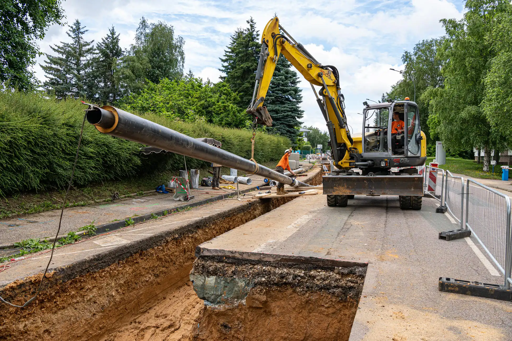
- Exploitation des réseaux
- Gestion des déclarations de travaux (DT, DICT)
- Travaux topographiques
- Expertise de la propriété foncière
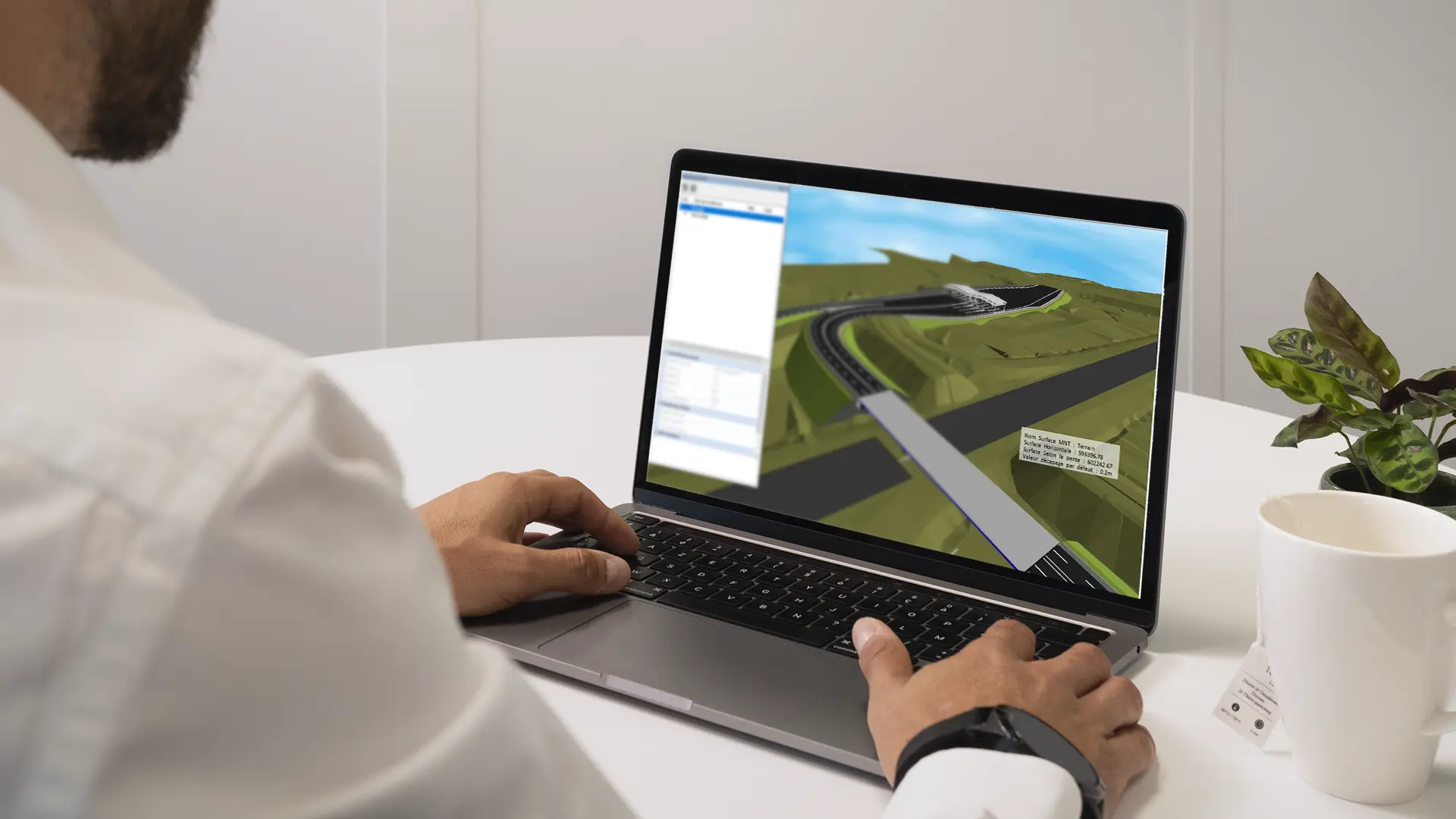
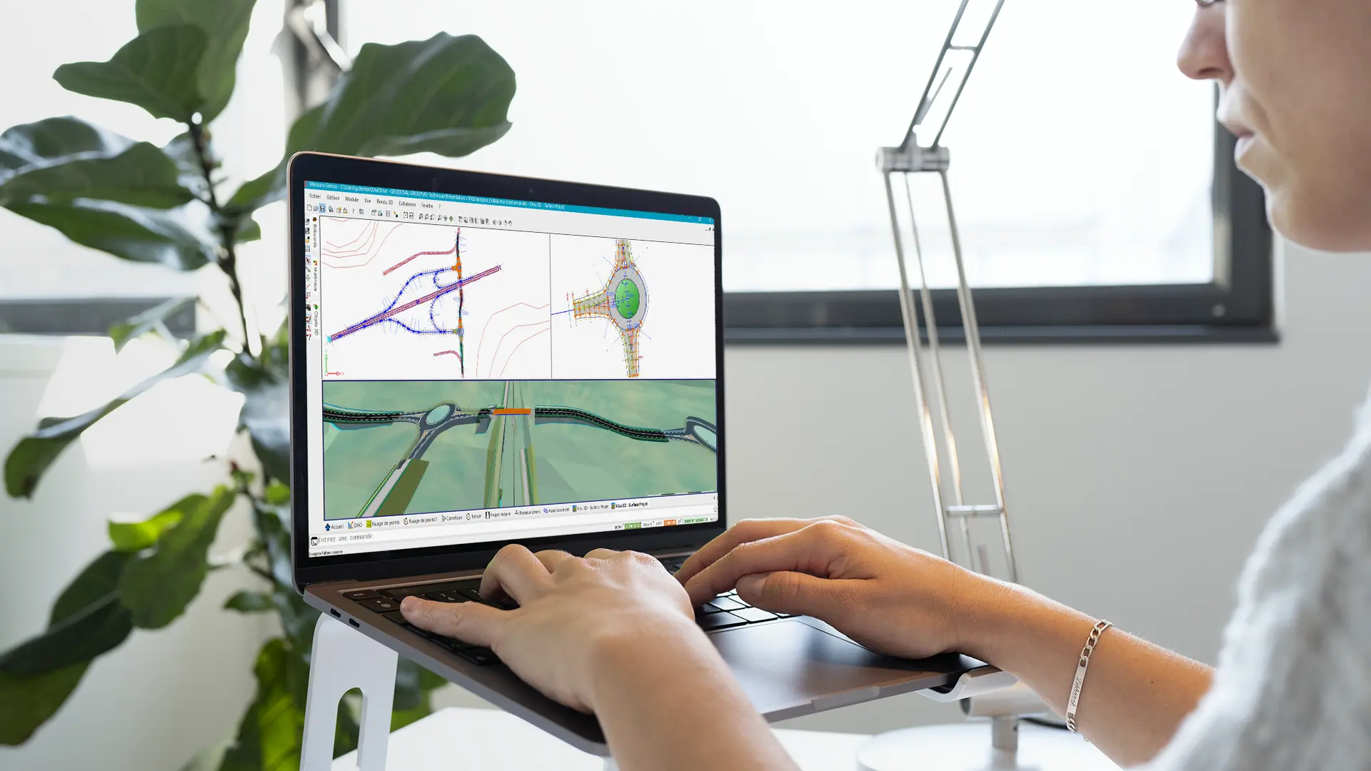
- Étude de projets VRD & ingénierie
- Étude de projets électricité & gaz
- Étude de projets télécommunication
- Gestion du domaine public
- Suivi des diagnostics immobiliers
- Gestion du risque amiante
- Gestion des expositions à l’amiante
- Nos solutions
- Nos formations
- Société
- Carrière
- Accès client